The primary role of handheld Global Positioning System (GPS) devices in this context is precise field data collection. These instruments allow researchers to record the exact geographical coordinates of specific nectar-producing tree species—such as black locust, linden, and maple—directly within the forest environment.
While satellite imagery provides a macro view of the forest, handheld GPS units provide the essential "ground truth." This on-site data acts as the fundamental calibration tool used to train remote sensing algorithms and verify the accuracy of the resulting digital maps.
Bridging Physical Forests and Digital Maps
To understand the value of handheld GPS devices, one must look beyond simple location tracking. These devices serve as the critical bridge between physical reality and remote sensing analysis.
Establishing Ground Truth
Remote sensing imagery (from satellites) consists of raw data that requires interpretation. Handheld GPS devices allow researchers to tag specific locations in the real world where a known tree species exists. This dataset is referred to as ground truth, representing the indisputable reality of the terrain.
Enabling Supervised Classification
For a computer to recognize a "maple tree" from a satellite image, it must first be taught what a maple tree looks like from space. The coordinates collected by handheld GPS devices identify specific training sites. These sites tell the software, "The spectral signature at this specific coordinate belongs to a maple tree," allowing for supervised classification of the rest of the imagery.
Verifying Map Accuracy
Once a digital map is generated using remote sensing, it must be validated. Handheld GPS devices are used to return to the field and check random coordinates. By comparing the species predicted by the map against the actual species found at the GPS coordinates, researchers can mathematically calculate the map's accuracy.
Operational Considerations and Trade-offs
While handheld GPS units are indispensable for accuracy, they introduce specific logistical dynamics to the mapping workflow.
The Cost of Precision
Unlike satellite imagery, which captures vast areas instantly, GPS data collection is labor-intensive. It requires physical access to the forest and manual recording of individual tree locations.
Sampling vs. Census
Because of the manual effort involved, handheld GPS devices are not used to map every single tree in a forest. Instead, they are used to create a representative sample. The quality of the final map depends heavily on selecting a statistically significant and diverse set of sample coordinates to record.
Integrating GPS into Your Mapping Strategy
When planning a forest nectar plant mapping project, the handheld GPS is your tool for quality assurance and algorithm training.
- If your primary focus is Algorithm Training: Prioritize using GPS to record coordinates of distinct, homogeneous stands of species like black locust or linden to create clear spectral signatures for the software.
- If your primary focus is Validation: Use the GPS to verify "problem areas" or mixed-forest zones where the satellite imagery might be ambiguous to ensure your accuracy metrics are honest.
Ultimately, the handheld GPS is the critical link that translates physical forest composition into accurate, verifiable digital intelligence.
Summary Table:
| Feature | Role of Handheld GPS in Mapping | Impact on Accuracy |
|---|---|---|
| Ground Truth | Captures precise coordinates of specific nectar trees | Eliminates ambiguity in satellite data |
| Supervised Classification | Identifies training sites for species like Maple or Linden | Enables AI to recognize spectral signatures |
| Validation | Verifies random coordinates against generated maps | Provides mathematical proof of map reliability |
| Logistics | Focuses on representative sampling | Balances manual labor with statistical significance |
Scale Your Apiary Operations with HONESTBEE
At HONESTBEE, we understand that precision mapping is just the first step in successful commercial beekeeping. As a dedicated partner to commercial apiaries and global distributors, we provide the comprehensive infrastructure needed to turn forest intelligence into honey production.
Whether you are scaling up with our high-capacity honey-filling machines or outfitting your operation with professional-grade beekeeping tools and specialized hardware, we deliver the quality you need to succeed. From essential consumables to advanced hive-making machinery and honey-themed cultural merchandise, HONESTBEE is your one-stop wholesale source.
Ready to elevate your beekeeping business? Contact our expert team today to discuss how our wholesale solutions can support your growth.
References
- A. Moskalenko, Ilenia Domina. Mapping bee forage trees. DOI: 10.31548/zemleustriy2018.04.08
This article is also based on technical information from HonestBee Knowledge Base .
Related Products
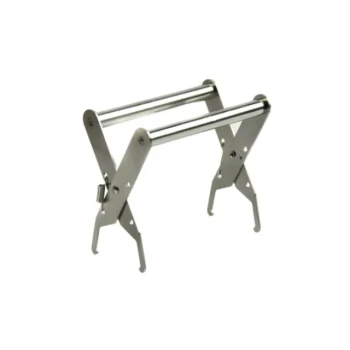
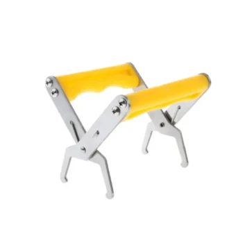
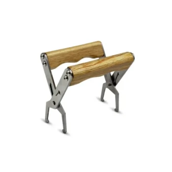
- Heavy-Duty Stainless Steel Frame Grip
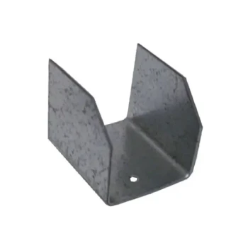
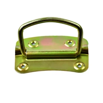
- Versatile U-Style Steel Pallet Clip
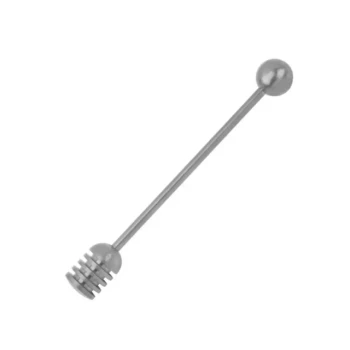
- Heavy Duty 304 Stainless Steel Honey Dipper
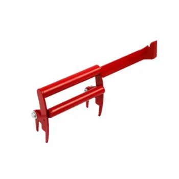
- Heavy-Duty Lever-Action Frame Grip with Hive Tool
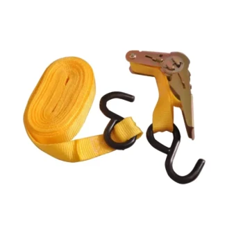
- Versatile Ratchet Hive Strap with S-Hooks for Secure Fastening
People Also Ask
- What products pair well with Frame Grips for beekeeping? Build Your Complete Hive Inspection Toolkit
- What is the functional difference between bee frames and foundation? Master Your Hive Management
- What is the purpose of using frame grips in beekeeping operations? Elevate Your Apiary Precision & Hive Safety
- What are the benefits of using Frame Grips in beekeeping? Boost Efficiency & Protect Your Hive
- What is a frame grip and how is it used? Secure Your Hive Inspections with Ease