High-precision handheld GPS devices form the technological backbone of modern apiary site management by recording the exact spatial geographic coordinates of hive locations. The primary purpose of these devices is to capture accurate latitude, longitude, and altitude data to serve as the foundational input for a Geographic Information System (GIS) database. This precise digital mapping enables the integration of physical apiary locations with complex environmental datasets.
By establishing a precise spatial foundation, these devices allow apiary managers to scientifically overlay hive locations with meteorological and vegetation data. This synthesis is the key to accurately assessing the nectar plant carrying capacity of any given region.
The Foundation of a GIS Database
Capturing Core Spatial Data
The immediate function of high-precision GPS units is to move beyond rough estimates of location. They record specific latitude and longitude coordinates, pinpointing the exact position of an apiary on the globe. This transforms a physical site into a verified digital data point.
The Importance of Altitude
Beyond horizontal coordinates, these devices record altitude information. Elevation data adds a critical third dimension to the geographic profile of the apiary. This creates a complete spatial record required for advanced analysis in management systems.
Integrating Environmental Factors
Overlaying Meteorological Data
Once accurate coordinates are stored in a GIS database, they can be layered with meteorological data. This allows managers to analyze how local weather patterns specifically affect the exact location of the hives. Precise location data ensures that weather correlations are relevant to the specific microclimate of the apiary.
Mapping Vegetation Layers
The collected GPS data enables the precise overlay of vegetation layers onto apiary maps. This visualization identifies the density and type of flora surrounding the hives. It provides a clear picture of available forage resources within the flight range of the bees.
Strategic Assessment: Carrying Capacity
Scientifically Assessing Resources
The ultimate goal of collecting this high-precision data is to determine the nectar plant carrying capacity of a region. By combining exact location, weather patterns, and vegetation maps, managers can calculate how many colonies a specific area can support.
Data-Driven Management
This approach moves site selection from intuition to a scientific process. It ensures that stocking rates are aligned with the actual environmental resources available, preventing overpopulation and resource depletion.
The Necessity of Precision
The Risk of Low-Accuracy Data
Using standard or low-precision GPS tools can compromise the integrity of the entire GIS database. If the underlying coordinate data is inaccurate, the subsequent overlays of vegetation and weather data will be misaligned.
Ensuring Valid Assessments
For the assessment of nectar carrying capacity to be scientifically valid, the spatial data must be exact. High-precision devices eliminate the margin of error that could lead to incorrect conclusions about available resources or environmental conditions.
Leveraging Spatial Data for Management
To effectively utilize high-precision GPS data in your apiary operations, consider the following applications:
- If your primary focus is Database Construction: Prioritize the recording of latitude, longitude, and altitude for every site to build a robust GIS foundation.
- If your primary focus is Resource Planning: Use the overlaid vegetation and meteorological layers to scientifically calculate the maximum number of hives your region can sustain.
High-precision data collection is not just about knowing where your hives are; it is about understanding how your specific location interacts with the environment to support colony health.
Summary Table:
| Feature | Function in Apiary Management | Strategic Benefit |
|---|---|---|
| Exact Coordinates | Records precise Latitude and Longitude | Creates the foundation for GIS digital mapping |
| Altitude Data | Captures elevation profiles | Enables 3D spatial analysis for microclimate mapping |
| Data Overlay | Layers vegetation and weather data | Facilitates scientific nectar plant carrying capacity assessment |
| GIS Integration | Synthesizes complex environmental datasets | Replaces intuition with data-driven site selection |
Maximize Your Apiary Productivity with HONESTBEE
Transitioning from intuition-based beekeeping to a scientific, data-driven approach requires the right infrastructure. At HONESTBEE, we specialize in supporting commercial apiaries and distributors by providing a comprehensive range of professional tools and machinery. From specialized hive-making and honey-filling machines to a full spectrum of beekeeping hardware and industry consumables, we deliver the quality you need to scale your operations.
Whether you are expanding your commercial footprint or looking to supply high-quality gear to local markets, our wholesale solutions are designed to enhance your efficiency and yield.
Ready to upgrade your equipment? Contact us today to learn how HONESTBEE can support your growth with our world-class beekeeping machinery and supplies.
References
- Simone Cristina Camargo, Daniela Jessica Pereira. Implementation of a geographic information system (GIS) for the planning of beekeeping in the west region of Paraná. DOI: 10.1590/0001-3765201420130278
This article is also based on technical information from HonestBee Knowledge Base .
Related Products
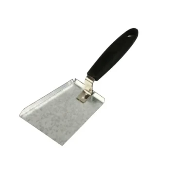
- Heavy-Duty Ergonomic Grip Galvanized Pollen Shovel
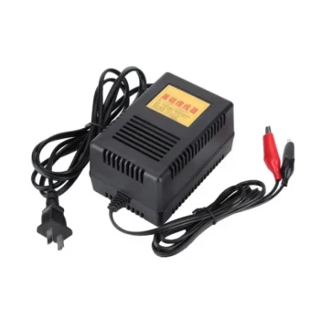
- HONESTBEE AC Powered Wire Embedder with Alligator Clips
- Plastic Bee Pollen Trap Strips Comb Catcher Collector
- Solar Beeswax Melter Easy Solar Wax Melter for Beeswax
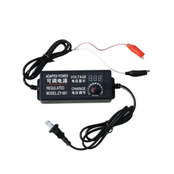
- HONESTBEE Adjustable Voltage Wire Embedder with Digital Display
People Also Ask
- What is the function of a pollen collector? Precision Data Harvesting for Superior Honeybee Nutrition Research
- For what reasons do beekeepers collect bee pollen? Boost Hive Health and Unlock New Revenue Streams
- How does a specialized pollen collector facilitate the harvesting of diverse bee products? Automate High-Value Yields
- What is the function of a bee pollen collector in the harvesting process? Maximize Your Yield and Purity
- What is the impact of pollen collectors and associated equipment on the cost structure of pollen production? Maximize ROI